
New Jersey ZIP Code Coverage by Prefix
New Jersey's postal footprint runs across the northern corridor, central cities and suburbs, shore communities, southern counties, and rural northwest. The state sources describe three-digit prefixes and broad service areas, not a verified row for every active five-digit delivery code. The table keeps those levels distinct: each entry is a prefix group, and the place names are broad examples rather than a complete boundary map.
| ZIP | Areas Covered | Post Office | Notes |
|---|---|---|---|
| 070 | Northern New Jersey, including parts of Essex, Union, Middlesex, Bergen, and Hudson | Newark-area, Clifton, Montclair, Elizabeth, Bayonne, Hoboken, and Edison examples | Prefix only; many municipalities and postal-city differences |
| 071 | Newark and nearby Essex delivery areas | Newark stations | Verify the delivery line by full address |
| 072 | Elizabeth, Union, and nearby areas | Elizabeth and Union-area offices | Do not assign a county from ZIP alone |
| 073 | Jersey City and Hudson County | Jersey City stations | Check the exact postal city and municipality |
| 074-076 | Passaic and Bergen counties and the northern suburban corridor | Paterson, Wayne, Hackensack, Teaneck, and Ridgewood examples | Some postal city names serve adjacent municipalities |
| 077 | Monmouth County and shore communities | Freehold, Red Bank, Long Branch, and Asbury-area examples | Shore routes and town boundaries can differ |
| 078-079 | Morris, Sussex, Warren, Hunterdon, and northwestern New Jersey | Morristown, Newton, Dover, Hackettstown, and Somerville-area examples | Rural routes and PO boxes can diverge from town lines |
| 080-081 | Burlington, Camden, Gloucester, Salem, and parts of Mercer | Mount Holly, Camden, Cherry Hill, Moorestown, and Trenton-area examples | Postal city may differ from the municipality |
| 082-084 | Atlantic, Cape May, Cumberland shore, and south coast | Atlantic City, Cape May Court House, Wildwood, and Vineland/shore examples | Verify resort and shore delivery points with USPS |
| 085-086 | Mercer County and central New Jersey | Trenton, Princeton, Hightstown, and Hamilton examples | University-area and county-seat labels may differ |
| 087 | Ocean and Monmouth shore and inland areas | Toms River, Brick, Lakewood, and Point Pleasant examples | Township, borough, and postal city may not align |
| 088 | Middlesex, Somerset, Hunterdon, Warren, and central or western areas | New Brunswick, Edison/Somerset, Flemington, and Phillipsburg examples | County and delivery boundaries do not coincide |
| 089 | New Brunswick and Highland Park area | New Brunswick, including 08901, 08902, 08903, and 08904 | Includes a small prefix cluster; confirm the full delivery code |
The prefix descriptions are not a substitute for checking a specific street. A single postal city can serve addresses on more than one side of a municipal or county line, and a prefix covers many individual delivery routes. PO Box-only and unique codes also may not point to a residential street or parcel. The New Jersey ZIP code directory shows official prefix groups, not every active five-digit delivery code.
New Jersey ZIP Ranges and Missing List
The New Jersey Treasury tax page states the full five-digit range as 07001 through 08989. The USPS three-digit table lists every prefix from 070 through 089: 070, 071, 072, 073, 074, 075, 076, 077, 078, 079, 080, 081, 082, 083, 084, 085, 086, 087, 088, and 089. Those are two different kinds of official coverage information: a range gives the endpoints, while the prefix list groups delivery addresses.
Neither static source supplies a current statewide table of each active five-digit ZIP, every PO Box-only or unique code, and the station assigned to it. That gap matters. A fabricated or old list can make an inactive, special-purpose, or misassigned code look current. Use the New Jersey Treasury ZIP-range statement for the range and the USPS three-digit area table for prefixes, then verify the exact delivery line in USPS's live lookup.
This is the numbers layer of New Jersey postal geography: it is statewide and complete at the published range and prefix levels, but it does not answer which street address belongs to a particular delivery ZIP today.
Finding Residents by New Jersey ZIP
A postal ZIP narrows a geography, but New Jersey's property and election tools do not all accept it as a search key. Use this sequence to avoid treating a delivery area as a town or a complete list of households. A New Jersey ZIP code directory search still needs a street address before an assessor lookup can be routed.
- Confirm the full delivery address or code through the USPS lookup, including the postal city and state. A ZIP prefix alone is too broad for an address match.
- Resolve the physical municipality and county with the local government directory or the address on the parcel record. Keep that jurisdiction with the postal details.
- Search a county or municipal assessor using its supported address, municipality, block, and lot fields. A ZIP filter may be absent; the Property Explorer's live ZIP controls were not verified.
- If using the DCA property search, note that ZipCode is a result column, while its documented public search modes are registration number, block plus lot and county, or street address plus municipality.
- For voter records, ask the county Commissioner of Registration or Superintendent of Elections whether a lawful file extract includes ZIP. The public registration check is an individual status lookup, not a ZIP directory.
Once a ZIP is narrowed to one street or parcel, continue with the New Jersey street directory address workflow. The state and local record systems still need a municipality or parcel key to return a useful property result.
Verify a New Jersey ZIP with USPS
The USPS locator and ZIP search is the place to confirm a delivery location and nearby postal facilities. Its controls support an address or city/ZIP search, then let the user narrow the kind of location or service. The exact ZIP code lookup should use an address or city/ZIP and the New Jersey state selection. Search results are dynamic, so the live page must be queried for a specific address rather than treated as a fixed statewide directory.
| Field or Control | Type | Required | Options or Format Notes |
|---|---|---|---|
| Street Address | Text | Optional for location search | Use the full address for a precise location. |
| City or ZIP Code | Text | Required alternative | Enter a valid city or ZIP. |
| State | Dropdown | Paired with city | All states and territories; New Jersey is an option. |
| Location Type(s) | Checkboxes | At least one | Post Office, National Retailer, Collection Boxes, Contract Postal Unit, Self-Service Kiosks, gopost, Village Post Office, or all types. |
| Common services | Filters | Optional | Sunday hours, pickup hold mail, and passport appointments. |
| Distance | Radio or dropdown | Optional | 1, 3, 5, 10, 20, 50, or 100 miles. |
| Sort results | Dropdown | Optional | Distance, Location Type A–Z, or Location Type Z–A. |
| Search / See All / Apply Filters | Buttons | Not applicable | Results update after the selected search or filter action. |
The USPS search page displays these location and service controls.
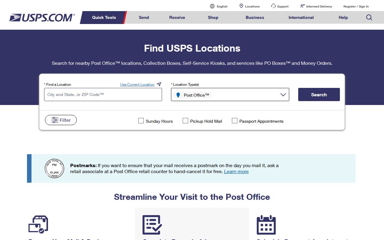
Use a current result to confirm postal delivery and facility type, then resolve the government municipality separately before checking a property or voter record.
NJ_Geocode Matches New Jersey Addresses
NJ_Geocode supports address matching and reverse geocoding. It can translate an address into a mapped location or work backward from coordinates to a nearby address point. The state lists a 1,000-record limit for batch processing, so the service is intended for address data tasks at that scale, not as a people search or a statewide list of who receives mail at each location.
New Jersey's address-point data includes postal place names, alternate street names, and subaddresses, and it is updated monthly. Those fields can help explain why an old street name or abbreviated form fails in a local search. A geocoded point does not establish a tax parcel boundary or a person's identity; compare its match with the municipality, county, and block or lot before opening the local record trail.
The NJ_Geocode service page describes address and reverse-geocoding functions and its batch limit.
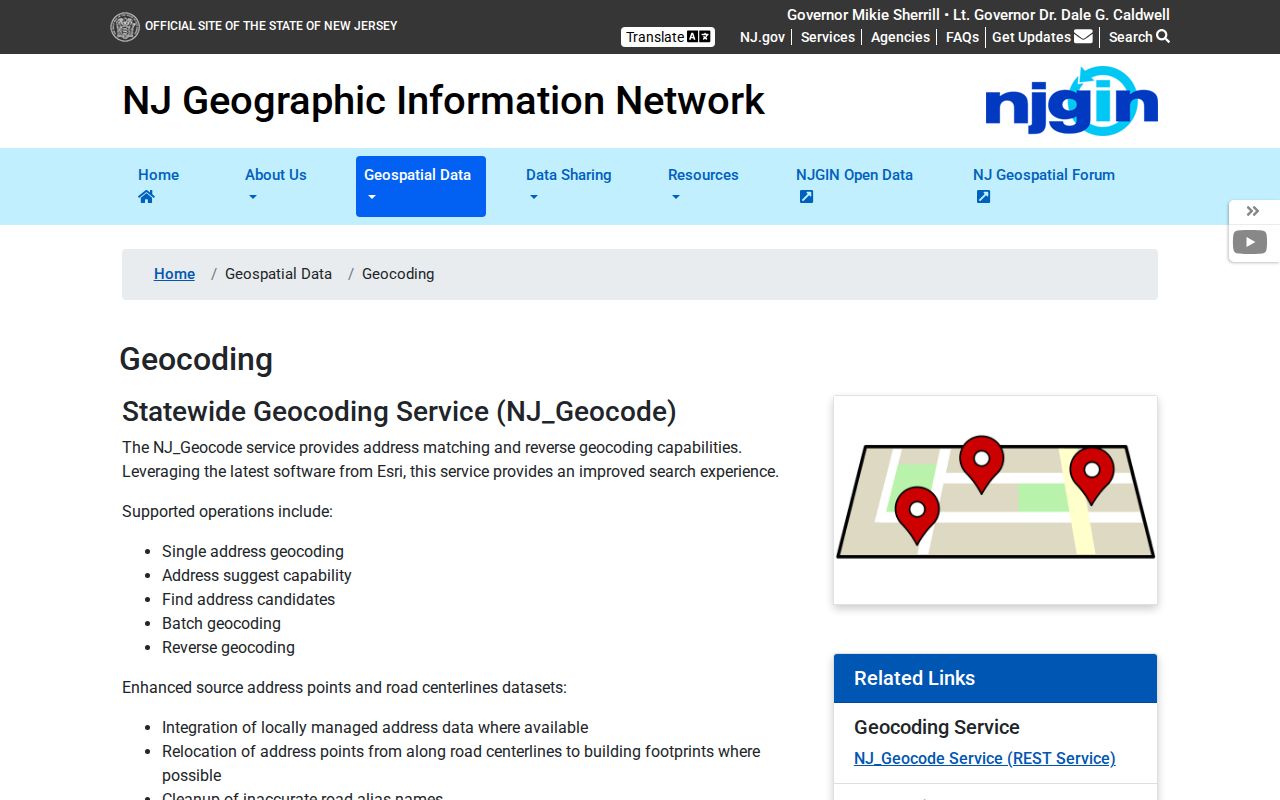
Use geocoding to test whether a street form can be matched, then verify the result against the postal lookup and local government geography.
New Jersey ZIP Codes and Municipal Limits
A postal city name is assigned for delivery, not municipal incorporation. An address can carry a Newark or Trenton mailing label while sitting in another municipality or county. Annexation, consolidation, a new borough or township, and street renaming can alter the legal jurisdiction without changing the postal ZIP. For an assessor, deed, or permit search, the municipality and county matter more than the mailing label.
ZIP is a delivery geography. It is not a legal parcel key, a deed description, or a municipal boundary. New Jersey parcels are usually identified by county and municipality with block, lot, and sometimes a qualifier; deeds may also use a subdivision lot, condominium unit, or metes-and-bounds description. A ZIP can cross those local lines, and a parcel can have a postal label that points somewhere else.
- ZIP vs ZIP+4
- The five-digit ZIP identifies a delivery area; the added four digits narrow a delivery point or segment within it.
- PO Box-only ZIP
- A code assigned to a post office box range rather than ordinary street delivery to homes.
- Unique ZIP
- A special delivery code assigned to one institution or organization, not a whole neighborhood.
- Carrier route
- A postal delivery subdivision used to group addresses on a carrier's route.
Check New Jersey Postal Localities
New Jersey's 21 county systems and 564 municipalities sit inside a much smaller postal map. Urban ZIPs can serve multiple neighborhoods or nearby towns; shore routes and seasonal service areas may cross borough and township lines. In the northwest and southern rural areas, a route address or post office box may be more familiar than a street label. Those differences change which clerk, assessor, or county election office holds a record.
Use the state's municipal and local-government directory to identify the legal town, then use the county directory to reach that county's clerk or register. If an address is near a boundary, compare the parcel and local road centerline rather than assigning a jurisdiction from the postal city. A municipality-specific street renumbering or annexation may need an ordinance or historic tax map.
This geography check is especially useful before a family-history search: an old city-directory address may use a former street name, while a modern post office label reflects delivery conventions. Preserve both forms in notes and compare the date on each record.
New Jersey ZIP Searches Have Limits
A postal search can confirm where mail is delivered, but it does not reveal everyone at an address. An assessment roll names an assessed owner and may show a mailing address; it does not establish who occupies the parcel. A voter record, when lawfully available, is about registration and does not include every resident. The individual “Am I Registered?” tool is not a public ZIP lookup.
New Jersey's statewide parcel maps may redact owner names under Daniel's Law, and county assessor portals differ in what they display. The ZIP field can be missing, delayed, or just a result column. Ask the relevant office about current search fields and access rules before relying on an empty result. Keep a delivery ZIP, municipality, county, and parcel number as separate data points.
When the goal is a particular address rather than a postal area, shift from the ZIP search to a municipal assessor or parcel map and follow the local block-and-lot record. The ZIP code directory is a useful starting geography, not proof of a boundary or household fact.