
Find New Jersey Street Directory Records
Work from the street number outward. First match the address to its municipality and county, then identify the parcel before treating any name as a household clue. New Jersey has several records that meet at an address, but none is a complete roster of people who live there. The assessed owner, a deed party, a voter at the address, and an older directory entry may refer to different people or different years.
- Enter the street address and municipality in the state Property Explorer or the local assessor search. Note the county, block, lot, qualifier, assessment year, and owner or mailing information that is available.
- Open the parcel in a GIS viewer and follow the street segment. Compare nearby parcels by block and lot, not by street number alone.
- Use the parcel's legal description to search the County Clerk or County Register deed index. Start with the current owner as grantee, the party receiving title.
- Check whether the county election office offers a voter-file extract for a lawful, specific request. The state's public voter tool checks one person's registration status; it is not a street directory.
- For an earlier household, ask a library or archive about address sections in historic criss-cross directories. Treat those entries as dated evidence and compare them with deeds or maps.
This sequence moves from a location to an owner record, then to sources that may show a registered voter or past occupant. If a portal has no match, try the full street name, an alternate spelling, or the block and lot before concluding that a record does not exist. By address, keep the street number attached to its municipality and parcel key so a later deed search follows the same land.
New Jersey Parcels Begin at the Assessor
The New Jersey Property Explorer is a map-based starting point for parcel location and assessment details. State property lists are filed each January, so a transfer after the list date may not be reflected yet. The statewide page describes location, owner information, block and lot, annual land and building assessments, prior-year taxes, and property classification. Local assessor pages can show more, but their fields and owner-name search options differ by municipality.
A street search works best when the address result is checked against its town and parcel identifiers. A postal city may not be the municipality that assesses the parcel. Record the assessment year and the legal lot details with any result, then use the municipal assessor when a current owner or a fuller parcel card is needed.
The Property Explorer's own overview explains the statewide map and annual-list timing.
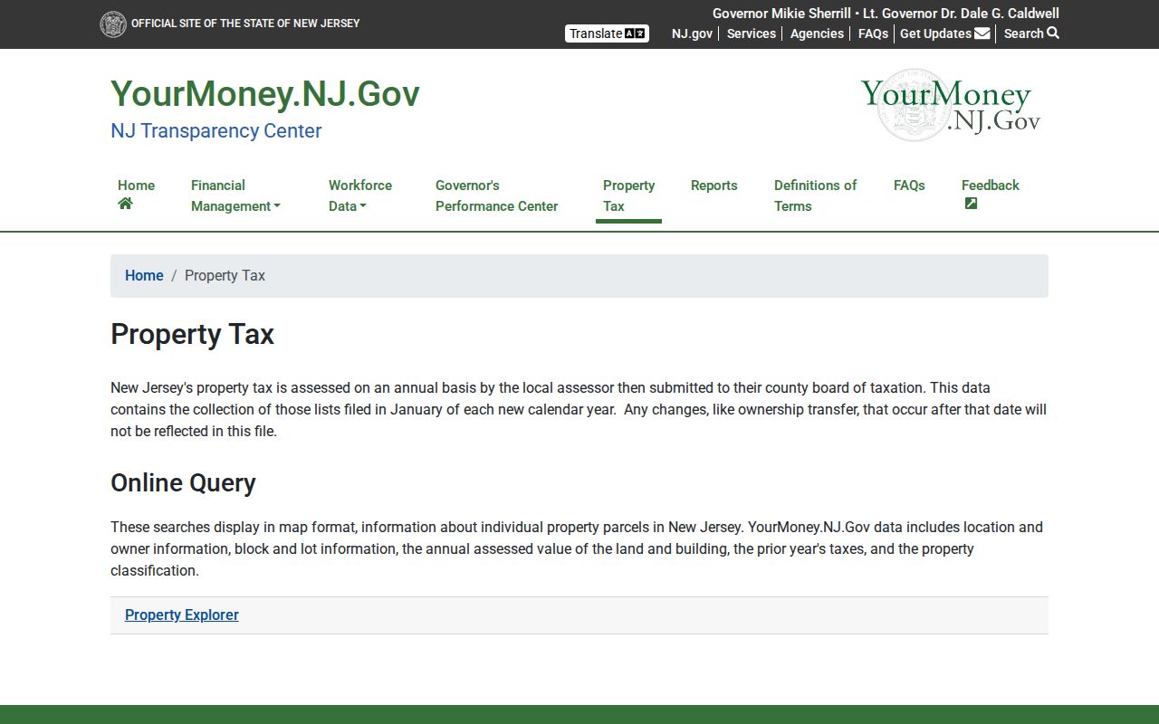
The map helps identify which parcel touches a street address. Confirm ownership and recent changes with the local assessor or county record holder.
Search New Jersey Assessor Fields
Property portals do not share one statewide form. The state map and municipal assessor sites use location and parcel fields, while the Department of Community Affairs property search has its own registration-number and property-name modes. These are the field labels and rules documented for New Jersey's tools; a field marked portal-dependent may not appear in every local search.
| Field Label | Type | Required | Options or Format Notes |
|---|---|---|---|
| County | Select | Optional in statewide Explorer; required in some modes | Choose the county where the parcel sits. |
| Municipality | Select or text | Optional or paired with address | Use the legal municipality, which may differ from the postal city. |
| Street Address / Street number and name | Text | Optional | Pair with municipality; partial street text can return more matches. |
| Owner name | Text | Local portal-dependent | State-hosted parcel names may be redacted; local rules and fields vary. |
| Block No. | Text | Optional, often paired with county | Use the local format; leading zeroes may matter. |
| Lot No. | Text | Optional, often paired with block | Check local lot and qualifier conventions. |
| Qualifier | Text or parcel detail | Portal-dependent | May distinguish a condo, unit, or other local parcel record. |
| ZIP | Text or filter | Portal-dependent | Some tax portals omit it or treat it as a postal field. |
| Property class and assessment year | Dropdown or filter | Optional | Class options vary; annual assessment data can lag a transfer. |
| Property Registration No. | Text | Optional alternative in DCA search | Ten digits; replace a dash with zero in the example format. |
| Property Name | Text | Optional in DCA search | Used for registered properties; select a result before account actions. |
| Search / Submit | Button | Not applicable | Search controls vary; actions other than "No Longer Own Property" require sign-in. |
| Reset / Clear / Map | Button or action | Not applicable | Local and statewide portals offer different reset, map, print, card, or download actions. |
| DCA result sort | Sortable headings | Not applicable | Registration #, Property Name, Building Street Address, Municipality, County, Block #, Lot #, ZipCode. |
The DCA property search supports registration number, block plus lot and county, or street address plus municipality. ZIP appears in the results, but is not one of those documented search modes.
New Jersey Street Parcels in GIS
NJGIN statewide parcel data can search by address, county, municipality, block, and lot, then place the parcel in a map. Road lines, parcel edges, aerial imagery, zoning, flood hazards, wetlands, school districts, legislative districts, utilities, and historic areas may be available as layers. A layer gives geographic context, not proof of ownership or occupancy.
Hosted owner names are redacted under Daniel's Law, P.L. 2020, c.125. When a statewide map identifies the parcel but not the owner, save the block and lot and move to the municipal assessor or county Clerk/Register. NJGIN also cautions that parcel edges may not line up perfectly across county boundaries, so a line on the map should not settle a legal boundary question.
The NJGIN parcel page describes its search fields, parcel data, and owner-name redaction.
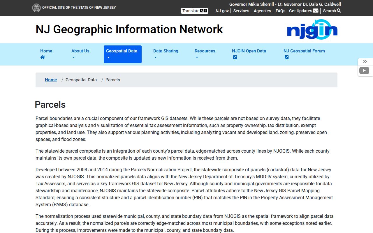
Use the map to find parcel identifiers along a street, then verify the record with the office that maintains the local assessment or deed index.
New Jersey Address Points Preserve Street Variants
New Jersey has 21 counties and 564 municipalities, so an address must be placed in the right local system before a parcel or deed search can work. Postal city, municipality, county, and ZIP can all differ. This is a practical geography issue: the same street name may cross a town line, and an address may carry a delivery label that is not its taxing jurisdiction.
The state's address-point layer includes postal information, a primary place name, alternate street names, subaddresses, and building-footprint placement where possible. NJGIN says the dataset is updated monthly and is built for location matching and 911 address work, not as a resident list. Counties maintain digital address points and road centerlines during the NG911 transition, while municipalities provide and correct address-location data.
The NJGIN address-points page describes the postal fields and alternate-name data.
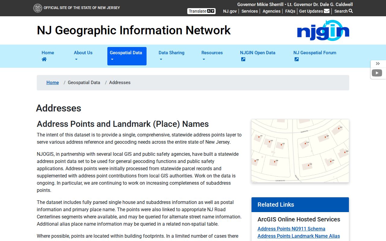
Alternate names can help match an abbreviated or renamed street, but they do not supply a statewide history of every renumbering. Pair them with a local map, tax map, or municipal record.
New Jersey Street Directory Record Types
Several record sets can be followed along a street, but each describes a different link to the address. The municipal assessment is strongest for the taxable parcel and its assessed owner. A deed records a transfer or interest in land. A voter file may show a registered voter at a residence address if the county provides a lawful extract. Permit records describe work, not who lives in the building.
| Record Set | Keeper | What It Shows | Access |
|---|---|---|---|
| Annual assessment or MOD-IV | Municipal assessor and county board of taxation | Owner, mailing and situs address, block and lot, class, assessment, prior tax | Property Explorer, local portal, counter, or request; annual-list lag |
| GIS parcel map | NJGIN, county, or municipality | Parcel geometry, location, block and lot, map layers | Free map; statewide owner names may be redacted |
| Address points | NJGIN and local address authorities | Parsed address, postal place, alternate street name, subaddress | Free map or service; not resident identity |
| Deeds and liens | County Clerk or County Register | Grantor and grantee, recording date, legal description, document placement | County portal or counter; images, coverage, and fees vary |
| Voter registration file | County Commissioner of Registration or Superintendent of Elections | Registration address and election fields allowed by law | Specific county request; protected information is withheld |
| Permits and code files | Municipal construction or code office | Work, inspection, applicant or contractor, and dates | Local portal, counter, or OPRA request |
| Criss-cross directory | Local library, State Library, or archive | Dated address-to-occupant or business clue | Holdings vary by title and year |
| Utility or motor-vehicle records | Private utility or state motor-vehicle custodian | Not a public street lookup | Customer and driver address data is restricted |
Block and lot connect an assessment to a deed or plat more reliably than a street number alone. The street ties nearby parcels together for map browsing, while the legal description anchors each property record. A by-street comparison is useful after every parcel has its own municipality and lot key. Use the New Jersey historical city directory collections for a deeper account of the older books and their year ranges.
New Jersey Deeds Link Parcels to Owners
Once the parcel is clear, move from the address to the block, lot, and qualifier, then search the correct county's Clerk or Register. Bergen, Camden, Essex, Hudson, Middlesex, Passaic, and Union use a County Register for land records; the other counties generally use the County Clerk. The state's county directory routes each address to the official county office and portal.
County indexes commonly offer party name, document number, book and page, municipality, block and lot, or a recording-date range. Search the current owner as grantee, meaning the person or entity that received title, then inspect the purchase deed for its grantor. Search that seller as a grantee in an earlier record to work back through transfers. The chain can branch through trusts, estates, corporations, or a subdivision, so compare the legal description and prior-deed reference rather than matching names alone.
- Parcel
- A mapped tax lot or land unit used by an assessor or GIS.
- Situs address
- The physical location assigned to the parcel, distinct from the owner's mailing address.
- Plat
- A recorded or official map that lays out lots, blocks, or a subdivision.
- Criss-cross directory
- A directory organized by street address, often with a separate name list to help identify an occupant or business in a particular year.
A property owner is not necessarily the person living at the site. The city-directory page covers how to read an old address list; a New Jersey resident lookup is more fitting when the question concerns one named person.
Older New Jersey Deeds Need Local Routes
There is no single statewide online deed cutoff. Each county controls its index and image access, and a result may be free, account-gated, copy-only, or available only at an office terminal. Index coverage, daily updates, image charges, certified copies, map copies, and the point where online records stop differ among the 21 county systems. Check the local Clerk or Register page before treating an empty web result as the end of a deed trail.
County counter terminals can expose older books, maps, or scanned indexes that are not on the public portal. Ask the clerk whether pre-digitization books, tax-sale files, map books, or archived indexes require staff help. A specific OPRA request can seek an existing record from the proper custodian; New Jersey's general response period for available records is no later than seven business days, with some request types treated differently. Standard copy rates are five cents per letter page and seven cents per legal page unless another fee applies.
For early land work, the New Jersey State Archives collection guide describes county deed microfilm through 1900 and early-land indexes. The Archives also offers in-person research and mail searches or copies under its own procedures. A local library may hold city directories, maps, or a street index that bridges the gap. The State Library bibliography identifies directory titles and formats, while the Library of Congress address-directory guide explains how to request holdings by place, type, and year.
New Jersey Voter Records Need a Request
The state's Am I Registered? lookup is an individual status check, not a public name-to-street directory. Registration records are held by a county Commissioner of Registration or Superintendent of Elections. A county file may include a registered person's residence and mailing addresses, status, party affiliation, and voting district, subject to election rules, OPRA redactions, protected-voter safeguards, and the county's delivery process. The Division of Elections lists county contacts and registration tools.
For an address-level file, contact the correct county office and describe the specific existing list, date, fields, format, and purpose. Ask whether ZIP, precinct, or street sorting is available and what fee or use certification applies. Do not request signatures, Social Security numbers, driver's-license numbers, or protected addresses. The public status tool may confirm a registration on the day it is checked, but it does not prove that a person currently occupies the listed address.
The Division of Elections links county forms and offices. Phone or counter staff can explain custody and file format; OPRA is a route for a defined public record, not a promise that every requested field will be released. Historical poll books or registry books may instead be held by county offices, State Archives, county archives, or libraries.
New Jersey Street Permits Mark Building Changes
Municipal permits and code files can place construction, additions, conversions, demolition, inspections, or repairs on an address timeline. The applicant or contractor may be named, but that does not establish who lived in the building. Start at the construction or code office for the municipality; where no local search is available, ask for the record by address and date through the municipal custodian.
New Jersey does not have one official statewide register of street renumberings. Streets can be renamed, extended, split by a town boundary, or assigned a new postal city while the municipality stays the same. Search the address-point alternate-name field, older tax maps, historic atlases, municipal clerk ordinances, and directory street indexes. An apartment subaddress, condominium qualifier, rural route, or several address points on one tax lot can also hide a match under the modern street number.
For a household history, a library can help identify which street indexes or local map years exist. The Library of Congress address-directory guide asks researchers to specify the location, format, and years requested; its holdings are not a full statewide run.
Limits of a New Jersey Street Search
A parcel map or assessment identifies land and tax information, not every person who lives at an address. Household members, children, visitors, people who are not registered to vote, and people whose records are protected may not appear in a public search. Utility customer lists are not a public household index, and motor-vehicle address records are restricted under federal law. A voter match is a registration detail, not proof of daily presence.
New Jersey's Address Confidentiality Program gives eligible participants a substitute address and mail forwarding; it cannot remove a physical location already recorded in an older public file. Daniel's Law redactions likewise mean a missing owner name in a statewide map is not a reason to reconstruct a protected address elsewhere. Use only records that are lawfully available for personal, family-history, or civic research, and keep sensitive details private.
Lawful use. New Jersey public records may be used for lawful personal research, but using address details to stalk, threaten, or harass someone can cause real harm and may violate the law. Respect redactions and do not expose a protected person's location.